OFFICIAL PORTAL OF ASPIRING MELAKA GEOPARK MANAGED BY THE STATE GOVERNMENT OF MELAKA
SEARCH MELAKA GEOPARK
Tip: try searching a geosite name or location (e.g. "Tanjung Bidara", "Jasin").
Landform Diversity

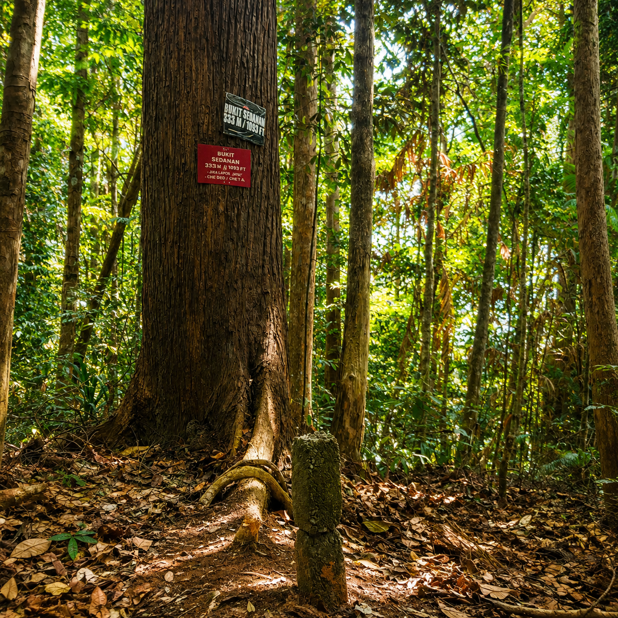
Bukit Sedanan

📍 Alor Gajah

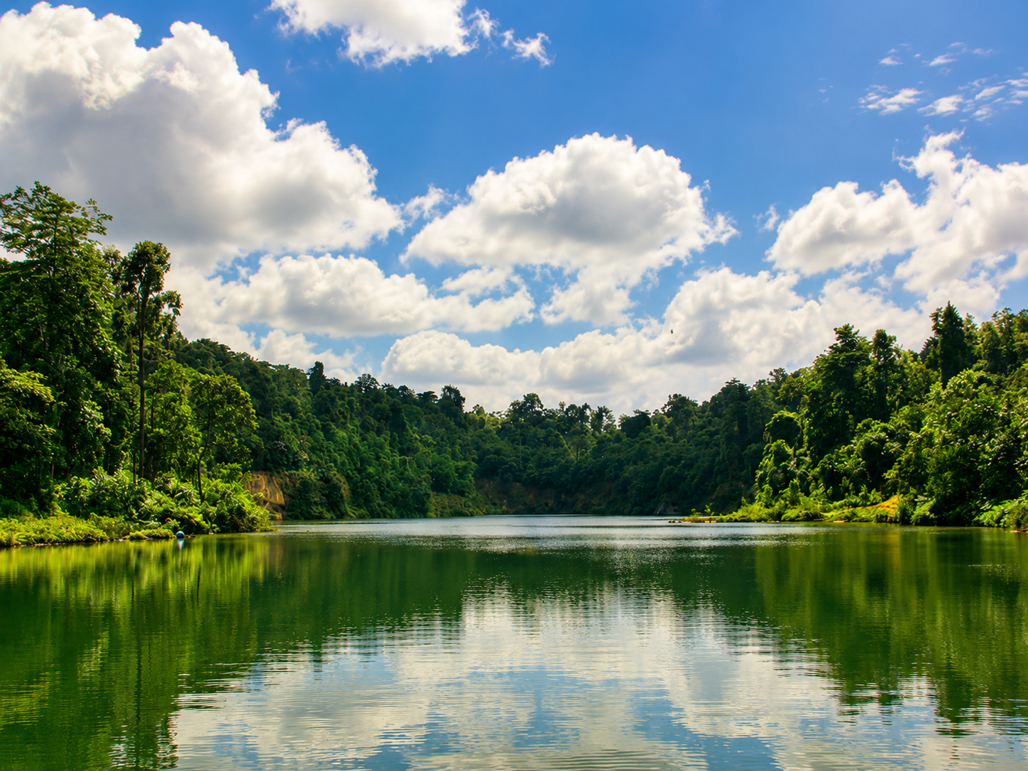
A man-made lake ("Tasik Danau Rimba") with a 200m hiking trail to a viewing tower.
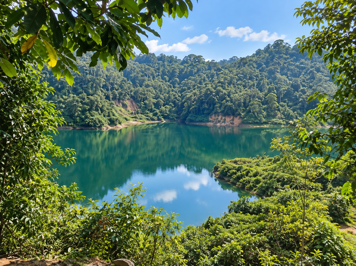
Tasik Buatan Bukit Sedanan has diverse geodiversity, including the aesthetic value of the man-made lake landscape "Tasik Danau Rimba", suitable for family recreation or team-building activities. There is also a 200m hiking trail through diverse flora and fauna leading to the Menara Tinjau (viewing tower).

Photo Gallery

Geological Classification

Rock Type
Igneous Rock
Physical Features
Batuan, Landskap

Location

Alor Gajah

Open in Google Maps →

Activities

hiking wildlife photography

Save & Share This Geosite

Related Geosites

Visitor Information

Download the Official Melaka Geopark Map

Get the official Melaka Geopark map for a complete guide to geosite locations, attractions, main routes and public facilities to help plan your visit.

📄 Download