OFFICIAL PORTAL OF ASPIRING MELAKA GEOPARK MANAGED BY THE STATE GOVERNMENT OF MELAKA
SEARCH MELAKA GEOPARK
Tip: try searching a geosite name or location (e.g. "Tanjung Bidara", "Jasin").
Rock Diversity

Tanjung Tuan

📍 Alor Gajah

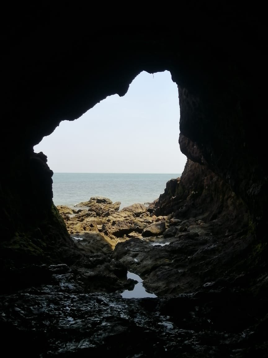
A sandy coastal headland with cave-like rock formations, popular for photography.
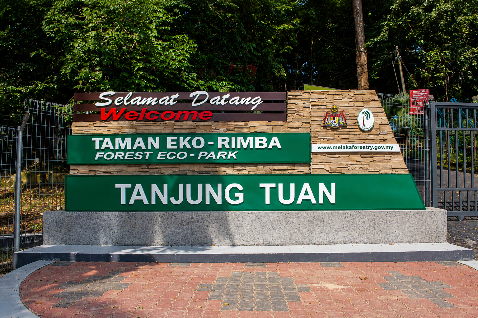
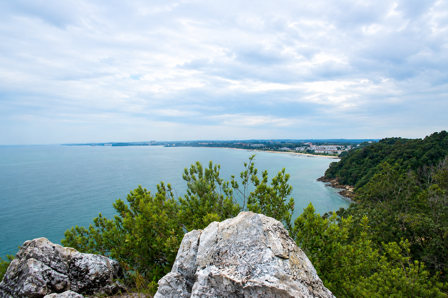
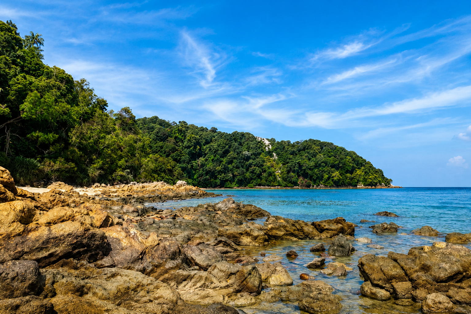
Tanjung Tuan is a sandy coastal landscape with rock structures resembling caves, a popular spot for photography. The area features quartz veins, aplite veins, pegmatite veins, and medium-to-coarse grained biotite granite lithology along the beach. It holds high heritage value across scientific, aesthetic, recreational and cultural dimensions.

The geology of the area is dominated by quartz dykes of Triassic age (251–250 million years), oriented northwest–southeast, which have cut through older metamorphic rocks.

The 1.4-kilometre-long and 150–250-metre-wide quartz dyke forms a ridge that acts as a natural barrier against coastal erosion and provides a stable foundation for the lighthouse.

Other unique features include quartz crystal geodes, dolerite rocks (rarely found along the west coast of Peninsular Malaysia), and an almost complete sequence of wave-erosion landforms formed through marine processes, including sea stacks and residual stumps.

Photo Gallery

Geological Classification

Rock Type
Metamorf
Physical Features
Batuan, Landskap, Mineral dan Struktur

Location

Alor Gajah

Open in Google Maps →

Activities

photography beach hiking

Save & Share This Geosite

Related Geosites

Visitor Information

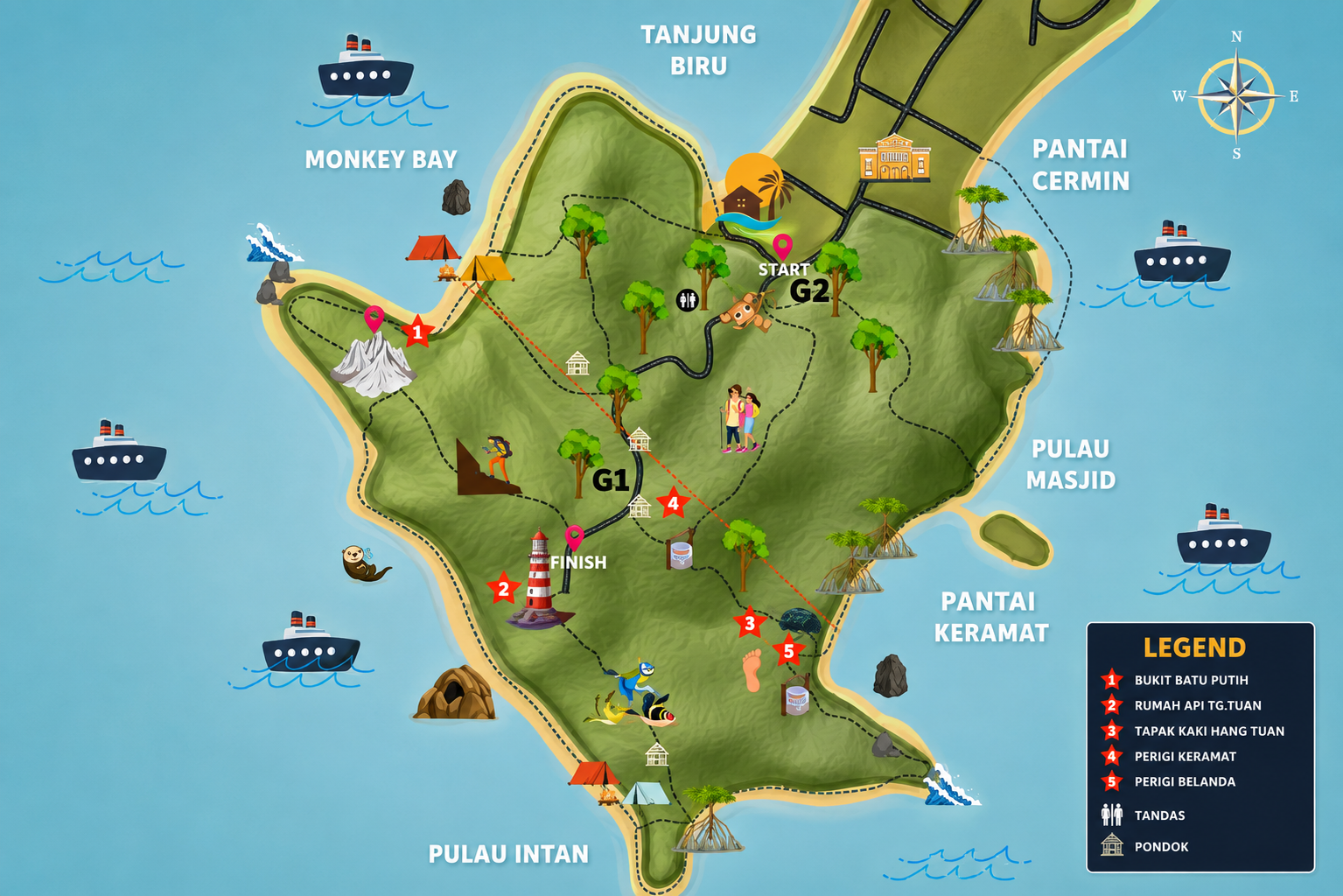
Download the Official Melaka Geopark Map

Get the official Melaka Geopark map for a complete guide to geosite locations, attractions, main routes and public facilities to help plan your visit.

📄 Download