OFFICIAL PORTAL OF ASPIRING MELAKA GEOPARK MANAGED BY THE STATE GOVERNMENT OF MELAKA
SEARCH MELAKA GEOPARK
Tip: try searching a geosite name or location (e.g. "Tanjung Bidara", "Jasin").
Anthropogenic Diversity

Pulau Upeh

📍 Melaka Tengah

Laterite across three zones, with mangrove forest along the coast and popular fishing activity.
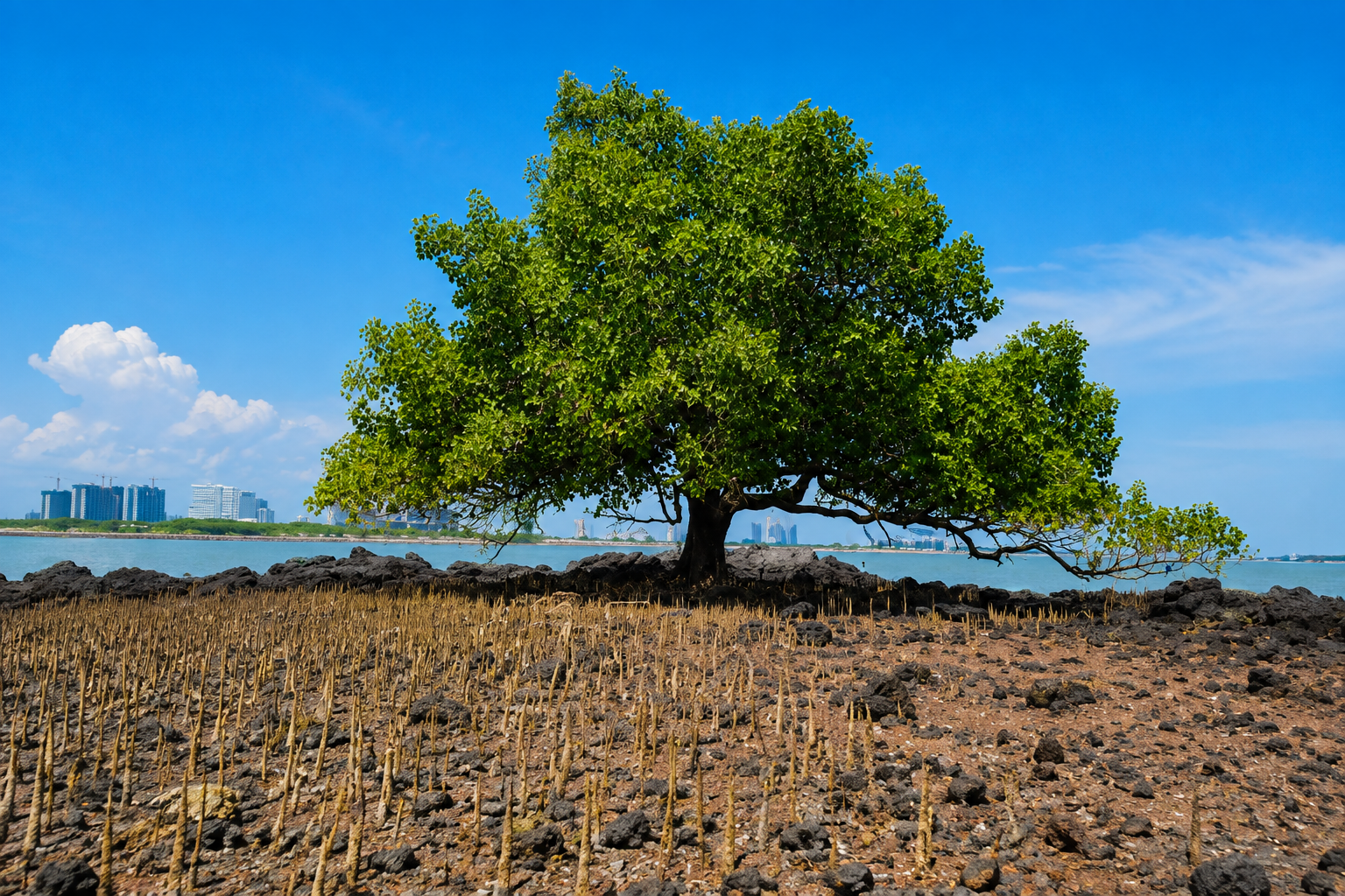
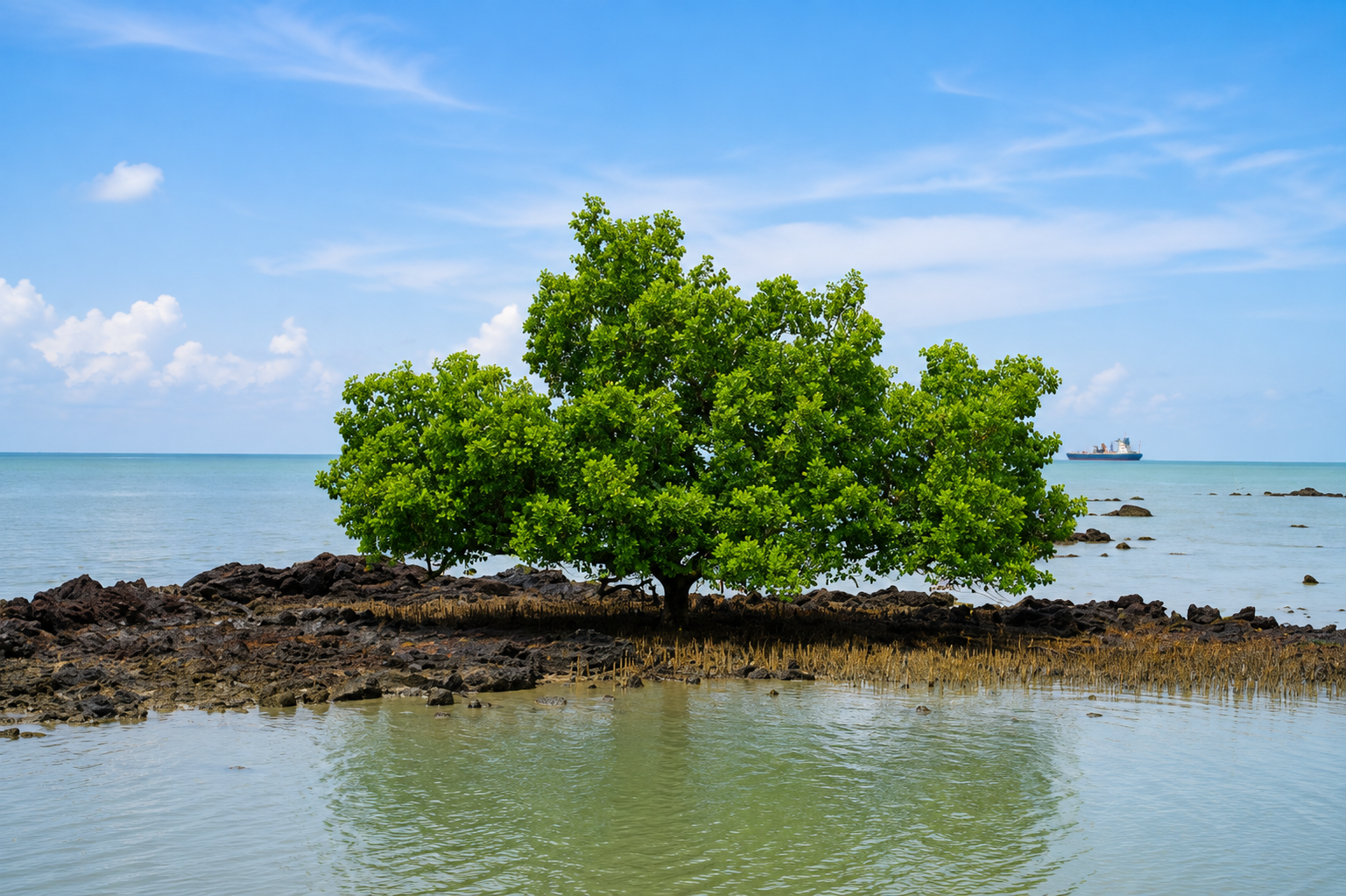
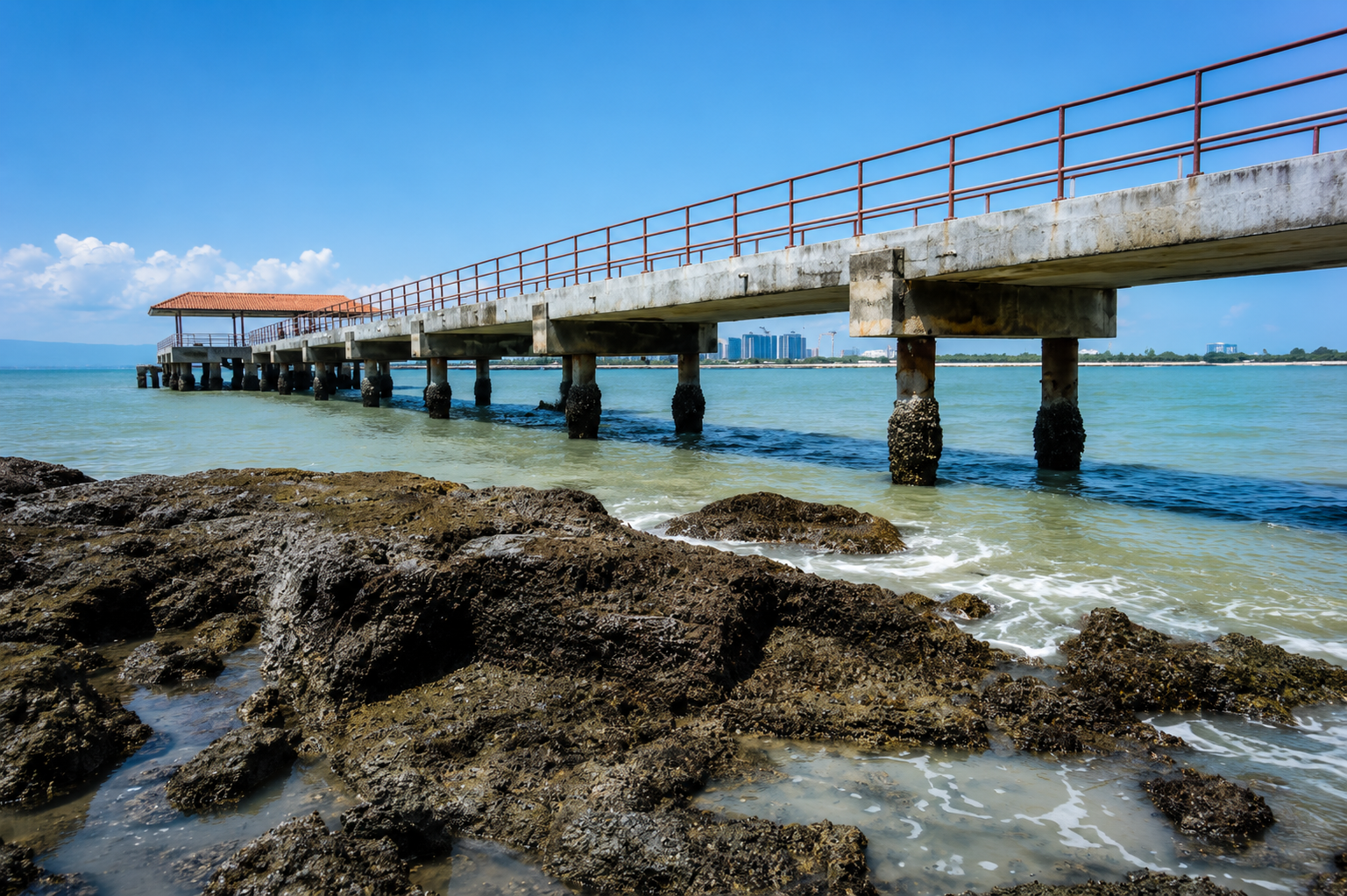
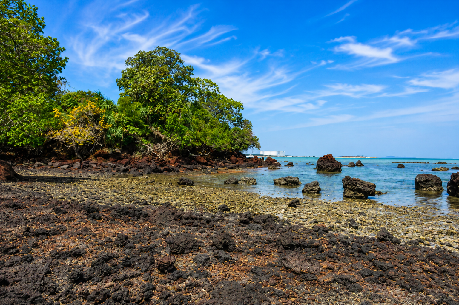
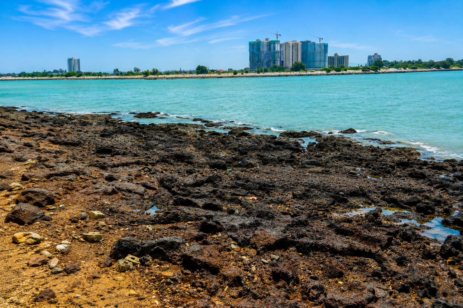
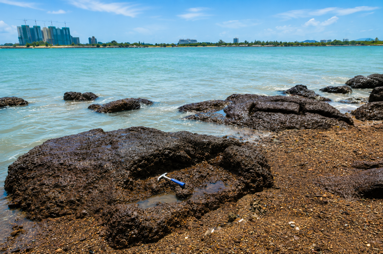
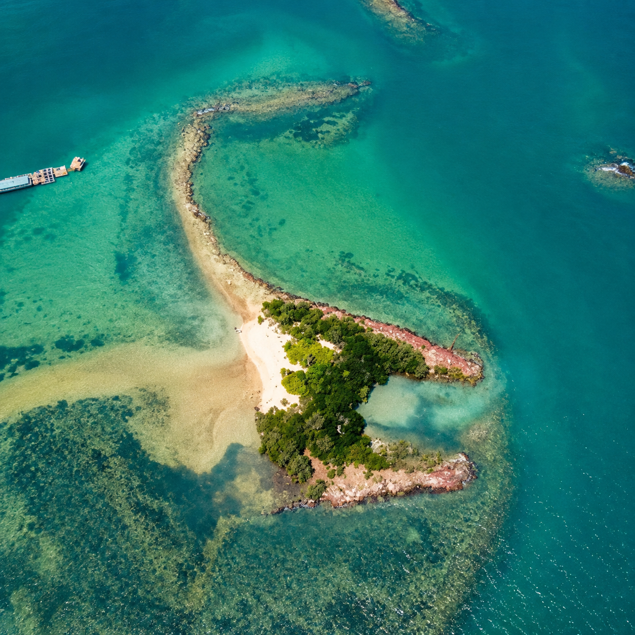
Laterite at Pulau Upeh can be divided into three zones: laterite rock zone, laterite gravel zone, and shell-sand zone. This laterite originates from weathered schist rock rich in iron oxide. Besides laterite rock, the area also has very thick and extensive laterite soil. Pulau Upeh has mangrove forest along its coastline and is well known for fishing activities.

Several historical findings have been discovered around Pulau Upeh in the form of rock blocks bearing evidence of human-made cuts rather than natural formations. These blocks, known as “man-made cut rocks,” are widely found along the coastal areas of Pulau Upeh and can be more clearly observed during low tide. These findings provide an insight into the history and changes of the landscape and rock formations of Pulau Upeh.

Photo Gallery

Geological Classification

Rock Type
Laterit
Physical Features
Batuan, Landskap

Location

Melaka Tengah

Open in Google Maps →

Activities

beach wildlife photography

Save & Share This Geosite

Related Geosites

Visitor Information

Download the Official Melaka Geopark Map

Get the official Melaka Geopark map for a complete guide to geosite locations, attractions, main routes and public facilities to help plan your visit.

📄 Download