OFFICIAL PORTAL OF ASPIRING MELAKA GEOPARK MANAGED BY THE STATE GOVERNMENT OF MELAKA
SEARCH MELAKA GEOPARK
Tip: try searching a geosite name or location (e.g. "Tanjung Bidara", "Jasin").
Rock Diversity

Bukit Larang Amphibole Schist

📍 Melaka Tengah

A rock outcrop linked to the tectonic history of the Bentong-Raub Suture Zone.
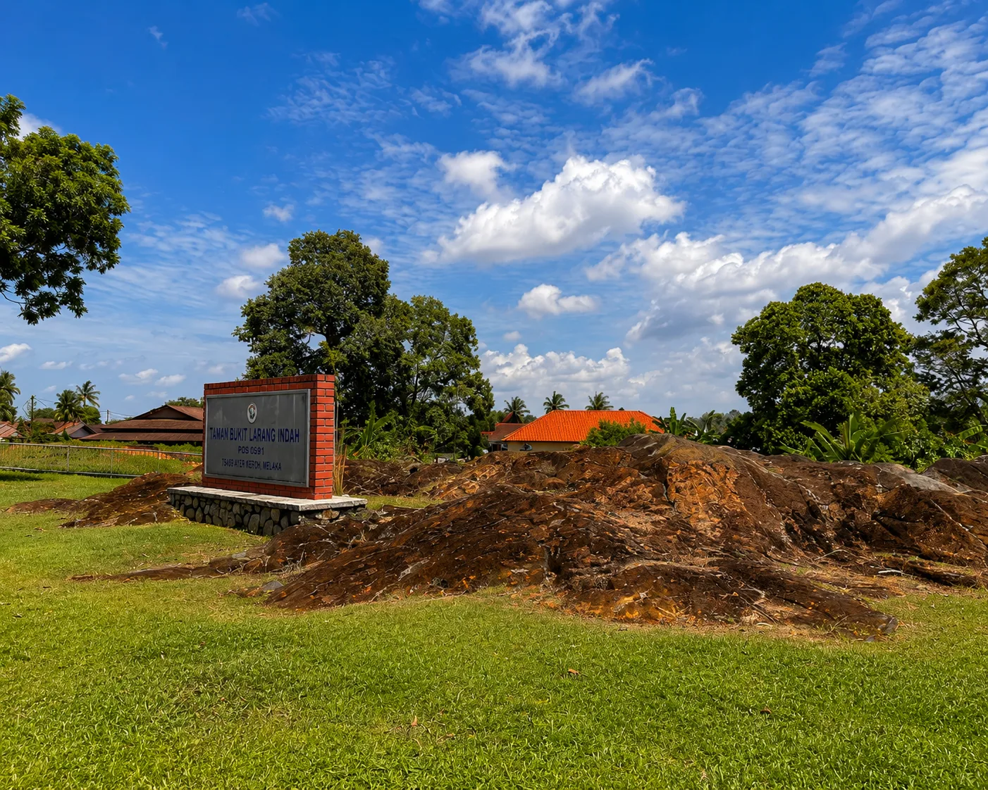
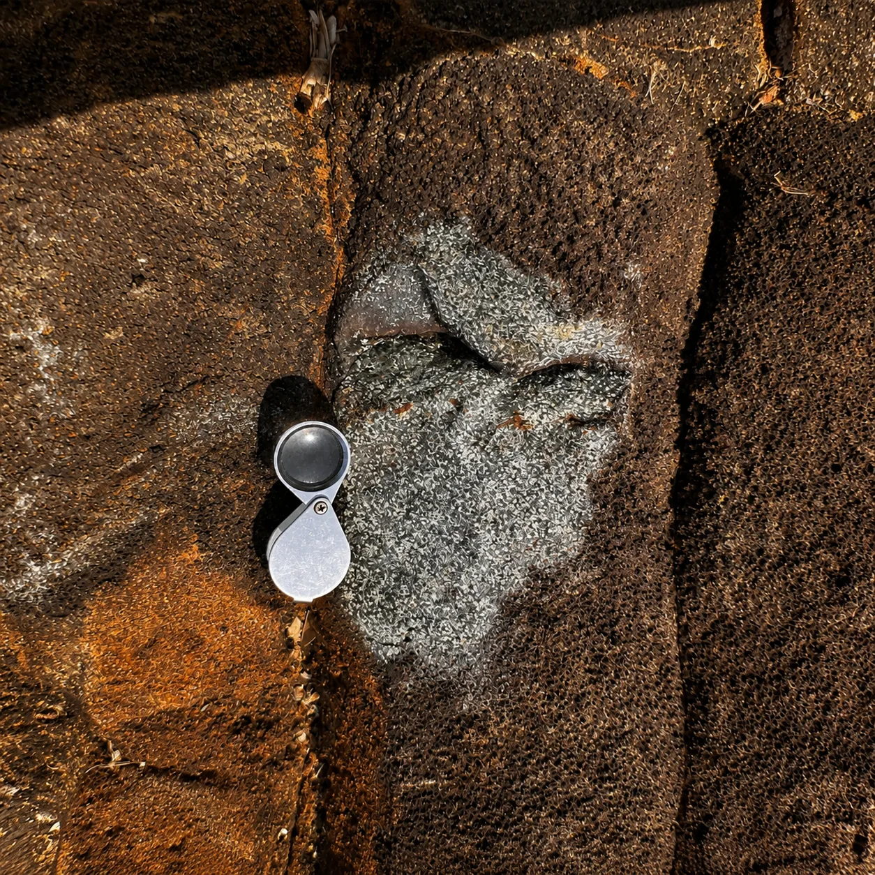
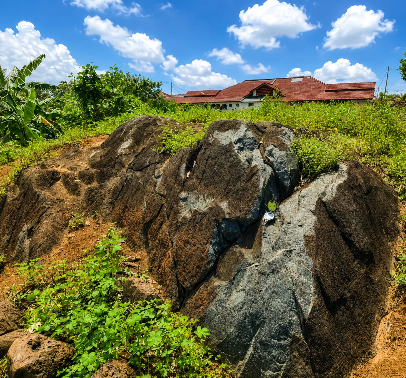
Bukit Larang Amphibole Schist is a rock outcrop located at Taman Bukit Larang Indah, Telok Mas, Melaka. The rock here is linked to the tectonic history of the Bentong-Raub Suture Zone collision. The amphibole schist (mafic) lithology shows a high degree of metamorphism - transformation of the original rock due to intense pressure and temperature.

Bukit Larang is the southernmost extension of the Bentong-Raub Suture Zone, the major tectonic boundary marking the closure of the Paleo-Tethys Ocean. The amphibole schist found here is important evidence of how Peninsular Malaysia was formed and of the geological history of Southeast Asia.

Photo Gallery

Geological Classification

Rock Type
Metamorf
Physical Features
Batuan, Landskap

Location

Melaka Tengah

Open in Google Maps →

Activities

hiking photography

Save & Share This Geosite

Related Geosites

Visitor Information

Download the Official Melaka Geopark Map

Get the official Melaka Geopark map for a complete guide to geosite locations, attractions, main routes and public facilities to help plan your visit.

📄 Download
Official Song